Telephone Exchange, Paxford
Introduction
The photograph on this page of Telephone Exchange, Paxford by Michael Dibb as part of the Geograph project.
The Geograph project started in 2005 with the aim of publishing, organising and preserving representative images for every square kilometre of Great Britain, Ireland and the Isle of Man.

There are currently over 7.5m images from over 14,400 individuals and you can help contribute to the project by visiting https://www.geograph.org.uk
Telephone Exchange, Paxford
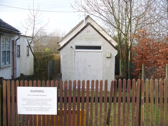
Image: © Michael Dibb Taken: 21 Jan 2010
Seen from the B4479 which runs through the village. There is a public call box just out of view to the left.
Images are licensed for reuse under creativecommons.org/licenses/by-sa/2.0
Image Location
Latitude
52.037131
Longitude
-1.733028