Naden Brook
Introduction
The photograph on this page of Naden Brook by David Dixon as part of the Geograph project.
The Geograph project started in 2005 with the aim of publishing, organising and preserving representative images for every square kilometre of Great Britain, Ireland and the Isle of Man.

There are currently over 7.5m images from over 14,400 individuals and you can help contribute to the project by visiting https://www.geograph.org.uk
Naden Brook
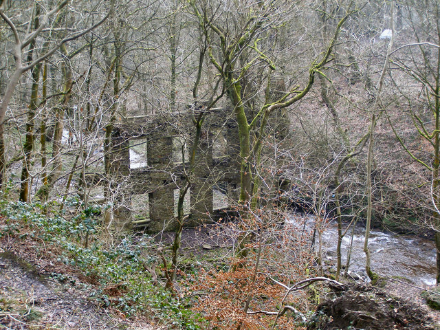
Image: © David Dixon Taken: 26 Jan 2010
Naden Brook passing the ruined remains of an old mill which presumably once drew water from the brook. The ruins are now overgrown by trees whose leaves hide it from view during the summer months.
Images are licensed for reuse under creativecommons.org/licenses/by-sa/2.0
Image Location
Latitude
53.616941
Longitude
-2.220667