Dovecote in Goreside Farm
Introduction
The photograph on this page of Dovecote in Goreside Farm by David Anstiss as part of the Geograph project.
The Geograph project started in 2005 with the aim of publishing, organising and preserving representative images for every square kilometre of Great Britain, Ireland and the Isle of Man.

There are currently over 7.5m images from over 14,400 individuals and you can help contribute to the project by visiting https://www.geograph.org.uk
Dovecote in Goreside Farm
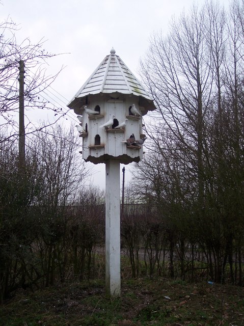
Image: © David Anstiss Taken: 24 Jan 2010
This dovecote is at the end of a footpath from the A28 Ashford Road, through Purchase Wood and then leads to Sandy Lane close to the Purchase Lane junction. Purchase Lane is seen in the background.
Images are licensed for reuse under creativecommons.org/licenses/by-sa/2.0
Image Location
Latitude
51.13792
Longitude
0.798034