Glasgow, Paisley, Kilmarnock and Ayr Railway
Introduction
The photograph on this page of Glasgow, Paisley, Kilmarnock and Ayr Railway by Richard Webb as part of the Geograph project.
The Geograph project started in 2005 with the aim of publishing, organising and preserving representative images for every square kilometre of Great Britain, Ireland and the Isle of Man.

There are currently over 7.5m images from over 14,400 individuals and you can help contribute to the project by visiting https://www.geograph.org.uk
Glasgow, Paisley, Kilmarnock and Ayr Railway
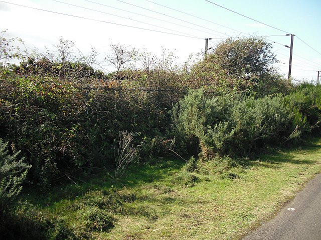
Image: © Richard Webb Taken: 9 Sep 2009
The railway between Ayr and Troon. Nature has helped Network Rail repel trespassers with thorny undergrowth. I consulted aerial photographs, and the cycle path did not appear, suggesting it is of recent construction.
Images are licensed for reuse under creativecommons.org/licenses/by-sa/2.0
Image Location
Latitude
55.526061
Longitude
-4.631669