Angler's spot no. 20, Erewash Canal, Sandiacre
Introduction
The photograph on this page of Angler's spot no. 20, Erewash Canal, Sandiacre by Christine Johnstone as part of the Geograph project.
The Geograph project started in 2005 with the aim of publishing, organising and preserving representative images for every square kilometre of Great Britain, Ireland and the Isle of Man.

There are currently over 7.5m images from over 14,400 individuals and you can help contribute to the project by visiting https://www.geograph.org.uk
Angler's spot no. 20, Erewash Canal, Sandiacre
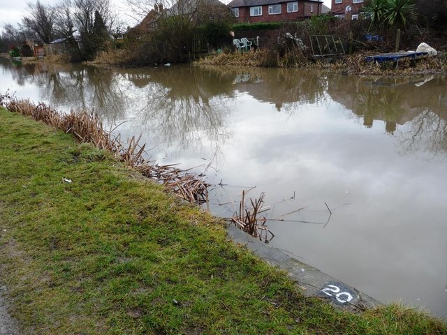
Image: © Christine Johnstone Taken: 24 Jan 2010
The towpath has a long sequence of these numbers, marking locations for anglers during competitions.
Images are licensed for reuse under creativecommons.org/licenses/by-sa/2.0
Image Location
Latitude
52.91396
Longitude
-1.284666