Mole Gap Trail
Introduction
The photograph on this page of Mole Gap Trail by Martyn Davies as part of the Geograph project.
The Geograph project started in 2005 with the aim of publishing, organising and preserving representative images for every square kilometre of Great Britain, Ireland and the Isle of Man.

There are currently over 7.5m images from over 14,400 individuals and you can help contribute to the project by visiting https://www.geograph.org.uk
Mole Gap Trail
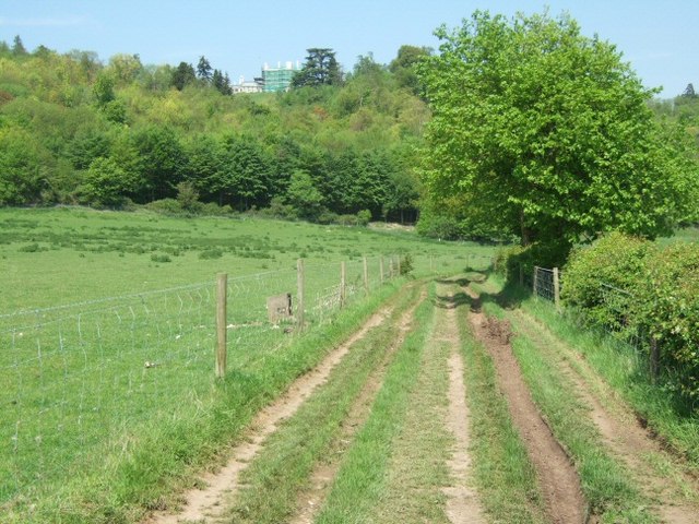
Image: © Martyn Davies Taken: 11 May 2006
View up the trail to Norbury Park. The large white house is in the centre of Norbury Park. The estate of Norbury Park belongs to Surrey County Council today, but the house remains in private ownweship.
Images are licensed for reuse under creativecommons.org/licenses/by-sa/2.0
Image Location


Leaflet Map data © OpenStreetMap
Latitude
51.264323
Longitude
-0.335913