Windmill Inn
Introduction
The photograph on this page of Windmill Inn by Paul Gillett as part of the Geograph project.
The Geograph project started in 2005 with the aim of publishing, organising and preserving representative images for every square kilometre of Great Britain, Ireland and the Isle of Man.

There are currently over 7.5m images from over 14,400 individuals and you can help contribute to the project by visiting https://www.geograph.org.uk
Windmill Inn
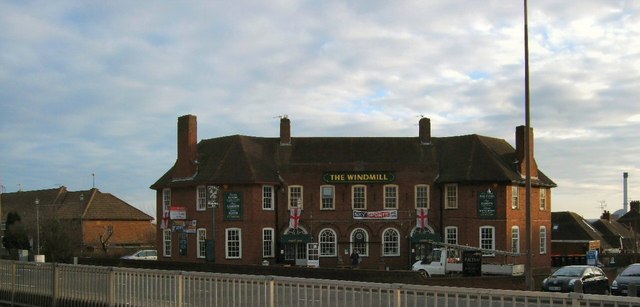
Image: © Paul Gillett Taken: 24 Jan 2010
On the Old Shoreham Road at Southwick The Pub was demolished Sept 2010 and flats are being built on the site http://www.theargus.co.uk/news/8344649.Brighton_pub_is_set_to_be_demolished/
Images are licensed for reuse under creativecommons.org/licenses/by-sa/2.0
Image Location
Latitude
50.839863
Longitude
-0.23364