Kettering rugby club house
Introduction
The photograph on this page of Kettering rugby club house by Michael Trolove as part of the Geograph project.
The Geograph project started in 2005 with the aim of publishing, organising and preserving representative images for every square kilometre of Great Britain, Ireland and the Isle of Man.

There are currently over 7.5m images from over 14,400 individuals and you can help contribute to the project by visiting https://www.geograph.org.uk
Kettering rugby club house
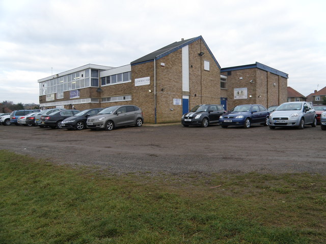
Image: © Michael Trolove Taken: 24 Jan 2010
Sunday morning is junior rugby day across the country so boys and girls from 7 to 17 are playing, training or watching some form of rugby.
Images are licensed for reuse under creativecommons.org/licenses/by-sa/2.0
Image Location
Latitude
52.391038
Longitude
-0.713427