Fallowfield Loop Cycleway at the end of Sidbury Road
Introduction
The photograph on this page of Fallowfield Loop Cycleway at the end of Sidbury Road by Phil Champion as part of the Geograph project.
The Geograph project started in 2005 with the aim of publishing, organising and preserving representative images for every square kilometre of Great Britain, Ireland and the Isle of Man.

There are currently over 7.5m images from over 14,400 individuals and you can help contribute to the project by visiting https://www.geograph.org.uk
Fallowfield Loop Cycleway at the end of Sidbury Road
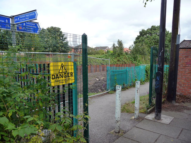
Image: © Phil Champion Taken: 29 Aug 2009
In the 1990s the disused Fallowfield Loop line and part of the disused railway line west of Chorlton Junction was converted to a cycle path. When this photo was taken work was well underway to re-open the line as far as the junction as part of the Metrolink tram network. This opened on 7 July 2011. The cycleway has now been realigned to cross the tracks a short distance from this location and the cutting widened to accommodate both the cycleway and the tram tracks.
Images are licensed for reuse under creativecommons.org/licenses/by-sa/2.0
Image Location
Latitude
53.439771
Longitude
-2.268822