Dunmurry Lane, Dunmurry
Introduction
The photograph on this page of Dunmurry Lane, Dunmurry by Albert Bridge as part of the Geograph project.
The Geograph project started in 2005 with the aim of publishing, organising and preserving representative images for every square kilometre of Great Britain, Ireland and the Isle of Man.

There are currently over 7.5m images from over 14,400 individuals and you can help contribute to the project by visiting https://www.geograph.org.uk
Dunmurry Lane, Dunmurry
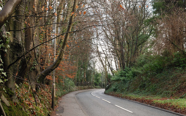
Image: © Albert Bridge Taken: 22 Jan 2010
Dunmurry Lane runs from Dunmurry crossroads Image to the Upper Malone Road Image The view is towards the latter as it passes Dunmurry Golf Club.
Images are licensed for reuse under creativecommons.org/licenses/by-sa/2.0
Image Location
Latitude
54.547789
Longitude
-5.987142