Hylton Grange Interchange Sunderland
Introduction
The photograph on this page of Hylton Grange Interchange Sunderland by Peter Robinson as part of the Geograph project.
The Geograph project started in 2005 with the aim of publishing, organising and preserving representative images for every square kilometre of Great Britain, Ireland and the Isle of Man.

There are currently over 7.5m images from over 14,400 individuals and you can help contribute to the project by visiting https://www.geograph.org.uk
Hylton Grange Interchange Sunderland
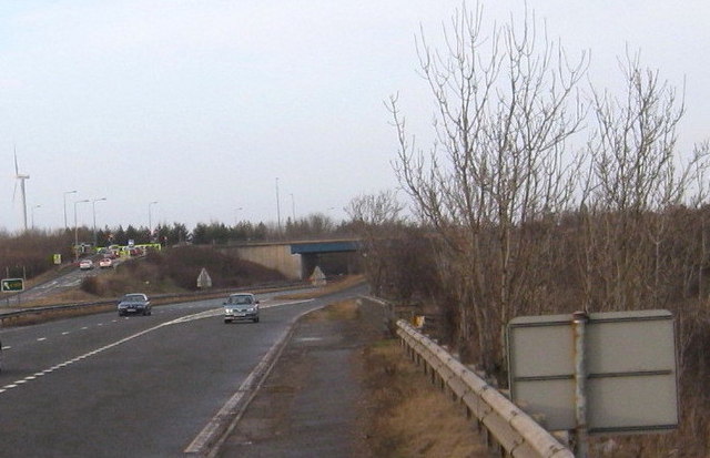
Image: © Peter Robinson Taken: 17 Jan 2010
The junction of the A19 Trunk Road and the A1231
Images are licensed for reuse under creativecommons.org/licenses/by-sa/2.0
Image Location
Latitude
54.908948
Longitude
-1.461093