Townhead Reservoir, overflow channel
Introduction
The photograph on this page of Townhead Reservoir, overflow channel by Robert Murray as part of the Geograph project.
The Geograph project started in 2005 with the aim of publishing, organising and preserving representative images for every square kilometre of Great Britain, Ireland and the Isle of Man.

There are currently over 7.5m images from over 14,400 individuals and you can help contribute to the project by visiting https://www.geograph.org.uk
Townhead Reservoir, overflow channel
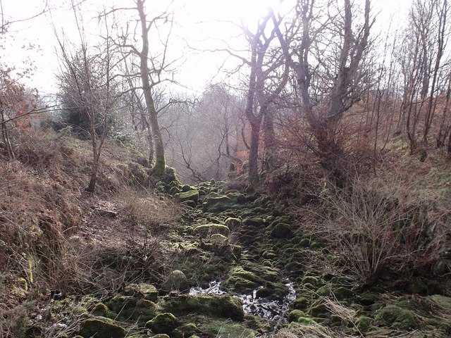
Image: © Robert Murray Taken: 21 Jan 2010
Should the sluice at the weir www.geograph.org.uk/photo/1672834 malfunction or is unable to cope then overflow will take this channel and over the edge down to the Shawend Burn.
Images are licensed for reuse under creativecommons.org/licenses/by-sa/2.0
Image Location
Latitude
55.98106
Longitude
-4.022563