Longfords Mill
Introduction
The photograph on this page of Longfords Mill by Chris Allen as part of the Geograph project.
The Geograph project started in 2005 with the aim of publishing, organising and preserving representative images for every square kilometre of Great Britain, Ireland and the Isle of Man.

There are currently over 7.5m images from over 14,400 individuals and you can help contribute to the project by visiting https://www.geograph.org.uk
Longfords Mill
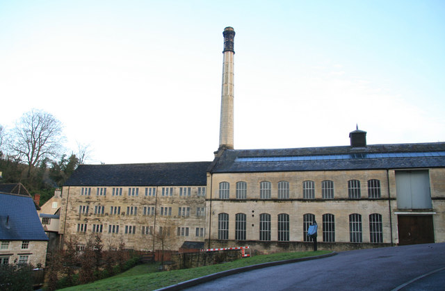
Image: © Chris Allen Taken: 17 Jan 2010
Now partly converted to dwellings. The fine chimney has been retained.
Images are licensed for reuse under creativecommons.org/licenses/by-sa/2.0
Image Location
Latitude
51.691212
Longitude
-2.194241