The route of Sittingbourne North Relief Road to Milton Creek
Introduction
The photograph on this page of The route of Sittingbourne North Relief Road to Milton Creek by David Anstiss as part of the Geograph project.
The Geograph project started in 2005 with the aim of publishing, organising and preserving representative images for every square kilometre of Great Britain, Ireland and the Isle of Man.

There are currently over 7.5m images from over 14,400 individuals and you can help contribute to the project by visiting https://www.geograph.org.uk
The route of Sittingbourne North Relief Road to Milton Creek
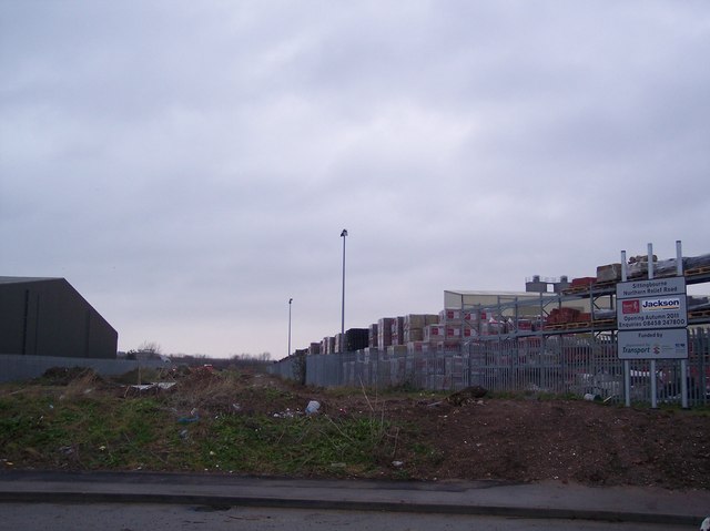
Image: © David Anstiss Taken: 16 Jan 2010
Within the Eurolink Industrial Estate, a gap was made between plots for the later construction of this road. Seen from the roundabout on Castle Road. This new road will provide a direct link to the A249 dual carriageway, bypassing central Sittingbourne. Construction of this road has just started.
Images are licensed for reuse under creativecommons.org/licenses/by-sa/2.0
Image Location
Latitude
51.352263
Longitude
0.759657