Edenfield Road junction with Bagslate Moor Road
Introduction
The photograph on this page of Edenfield Road junction with Bagslate Moor Road by David Dixon as part of the Geograph project.
The Geograph project started in 2005 with the aim of publishing, organising and preserving representative images for every square kilometre of Great Britain, Ireland and the Isle of Man.

There are currently over 7.5m images from over 14,400 individuals and you can help contribute to the project by visiting https://www.geograph.org.uk
Edenfield Road junction with Bagslate Moor Road
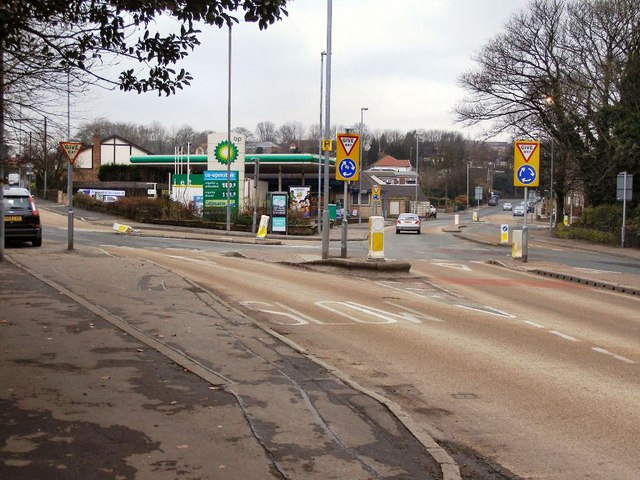
Image: © David Dixon Taken: 20 Jan 2010
Busy road junction with a mini-roundabout. The road to the left, Bagslate Moor Road, goes towards Heywood whilst to the right, the A680 Edenfield Road continues through Norden and over Ashworth Moor towards Edenfield. The Co-Op/BP filling station is situated between the junction, accessible from both roads.
Images are licensed for reuse under creativecommons.org/licenses/by-sa/2.0
Image Location
Latitude
53.622232
Longitude
-2.197139