Tregare Street trees, Newport
Introduction
The photograph on this page of Tregare Street trees, Newport by Jaggery as part of the Geograph project.
The Geograph project started in 2005 with the aim of publishing, organising and preserving representative images for every square kilometre of Great Britain, Ireland and the Isle of Man.

There are currently over 7.5m images from over 14,400 individuals and you can help contribute to the project by visiting https://www.geograph.org.uk
Tregare Street trees, Newport
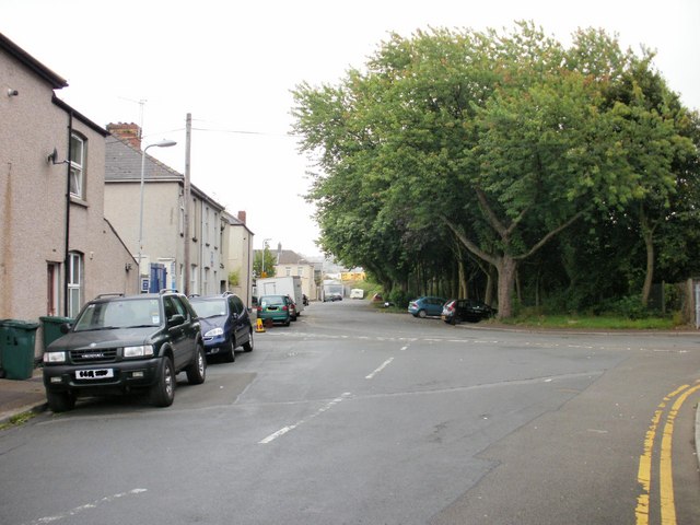
Image: © Jaggery Taken: 30 Aug 2009
There are no houses on the south side of Tregare Street, viewed here from the corner of East Usk Road. Instead, a long row of trees separates the street from railway lines - the main line heading north to Hereford. The tracks on the other side of the trees form part of the Maindee Triangle, which is described here. http://www.geograph.org.uk/photo/1671050
Images are licensed for reuse under creativecommons.org/licenses/by-sa/2.0
Image Location
Latitude
51.592067
Longitude
-2.990222