River Tees at Thornaby
Introduction
The photograph on this page of River Tees at Thornaby by Philip Barker as part of the Geograph project.
The Geograph project started in 2005 with the aim of publishing, organising and preserving representative images for every square kilometre of Great Britain, Ireland and the Isle of Man.

There are currently over 7.5m images from over 14,400 individuals and you can help contribute to the project by visiting https://www.geograph.org.uk
River Tees at Thornaby
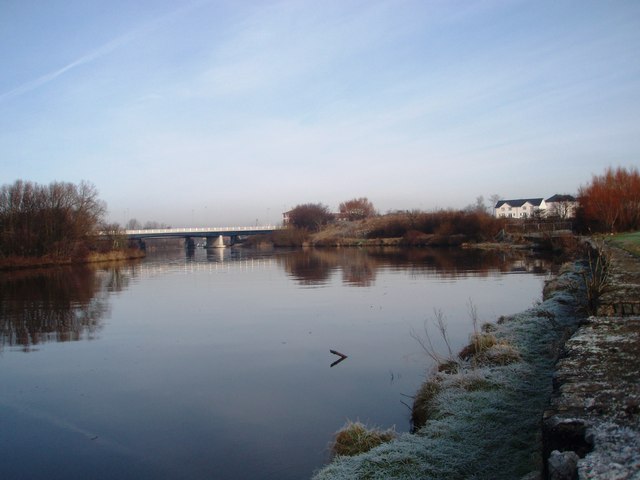
Image: © Philip Barker Taken: 19 Jan 2010
This photograph shows a view of the River Tees near North Thornaby. The picture was taken from the east bank looking in a northerly direction towards the centre of Stockton-on-Tees. The bridge seen in the distance is the new road bridge that carries the A66 road over the river. Just beyond the new bridge, parts of the railway bridge can just be seen.
Images are licensed for reuse under creativecommons.org/licenses/by-sa/2.0
Image Location
Latitude
54.553296
Longitude
-1.30994