A158, Horncastle
Introduction
The photograph on this page of A158, Horncastle by Dave Hitchborne as part of the Geograph project.
The Geograph project started in 2005 with the aim of publishing, organising and preserving representative images for every square kilometre of Great Britain, Ireland and the Isle of Man.

There are currently over 7.5m images from over 14,400 individuals and you can help contribute to the project by visiting https://www.geograph.org.uk
A158, Horncastle
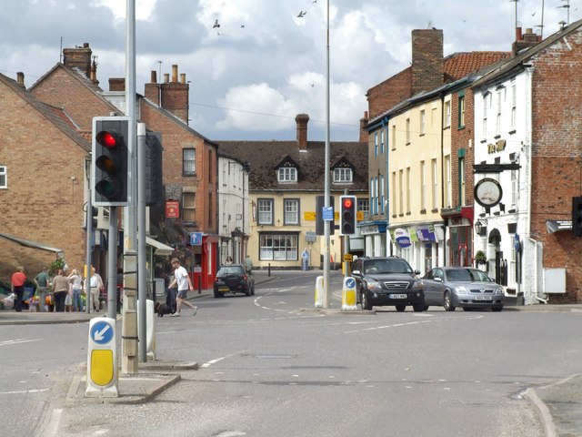
Image: © Dave Hitchborne Taken: 18 Jul 2009
The River Waring runs beneath here and has flooded in the past. On the 7th October 1960 it flooded to a height of 152.4cm when over 18.4cm of rain fell in 6 hours. The town has seen much flooding from both its rivers. In 1854, 1855, 1866, 1887, 1890, 1897, 1900, 1920, 1960, 1981, 1984, 2004 and 2007.
Images are licensed for reuse under creativecommons.org/licenses/by-sa/2.0
Image Location
Latitude
53.207729
Longitude
-0.114696