Handsworth School
Introduction
The photograph on this page of Handsworth School by mega monty as part of the Geograph project.
The Geograph project started in 2005 with the aim of publishing, organising and preserving representative images for every square kilometre of Great Britain, Ireland and the Isle of Man.

There are currently over 7.5m images from over 14,400 individuals and you can help contribute to the project by visiting https://www.geograph.org.uk
Handsworth School
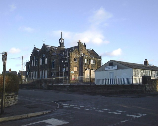
Image: © mega monty Taken: 14 Dec 2003
Taken at the Junction of Hall Road and Fitzalan Road, Showing Handsworth School prior to its demolition in January 2004. The school opened on 10th February 1902 and finally closed in 1995.
Images are licensed for reuse under creativecommons.org/licenses/by-sa/2.0
Image Location
Latitude
53.372892
Longitude
-1.388228