Road junction near Brasted Hill Farm
Introduction
The photograph on this page of Road junction near Brasted Hill Farm by David Anstiss as part of the Geograph project.
The Geograph project started in 2005 with the aim of publishing, organising and preserving representative images for every square kilometre of Great Britain, Ireland and the Isle of Man.

There are currently over 7.5m images from over 14,400 individuals and you can help contribute to the project by visiting https://www.geograph.org.uk
Road junction near Brasted Hill Farm
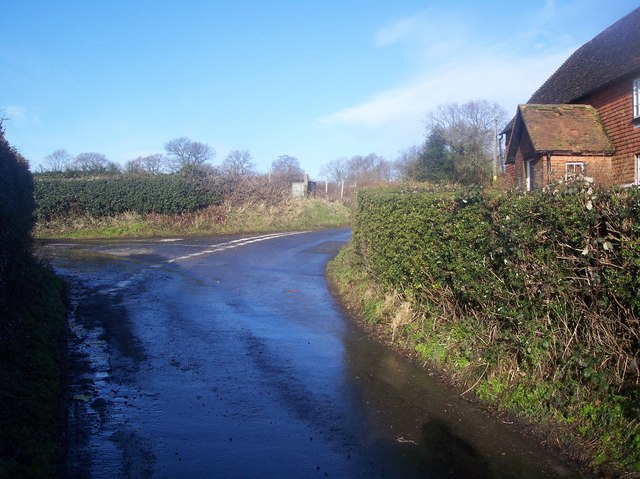
Image: © David Anstiss Taken: 17 Jan 2010
Brasted Hill leads from Brasted up the North Downs then past the farm to another lane junction. The Nower leads left to Scott's Lodge.
Images are licensed for reuse under creativecommons.org/licenses/by-sa/2.0
Image Location


Leaflet Map data © OpenStreetMap
Latitude
51.296767
Longitude
0.096444