Site of Whitworth railway station 2009
Introduction
The photograph on this page of Site of Whitworth railway station 2009 by Paul Hogg as part of the Geograph project.
The Geograph project started in 2005 with the aim of publishing, organising and preserving representative images for every square kilometre of Great Britain, Ireland and the Isle of Man.

There are currently over 7.5m images from over 14,400 individuals and you can help contribute to the project by visiting https://www.geograph.org.uk
Site of Whitworth railway station 2009
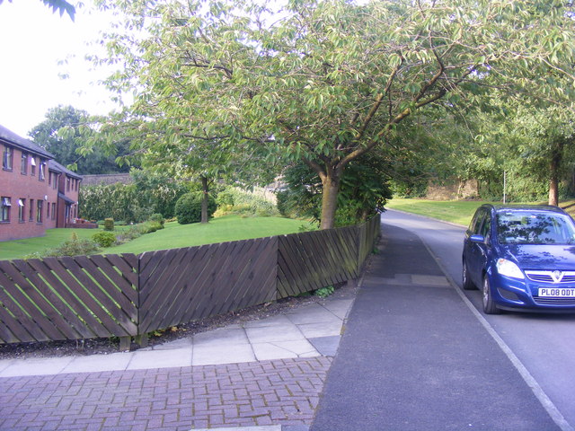
Image: © Paul Hogg Taken: 22 Aug 2009
Looking northwards, the railway and station would have been where the buildings are on the left. To the right of these buildings is what used to be a bridge.
Images are licensed for reuse under creativecommons.org/licenses/by-sa/2.0
Image Location
Latitude
53.655392
Longitude
-2.178048