Turn right for the Dovehouse Estate
Introduction
The photograph on this page of Turn right for the Dovehouse Estate by David P Howard as part of the Geograph project.
The Geograph project started in 2005 with the aim of publishing, organising and preserving representative images for every square kilometre of Great Britain, Ireland and the Isle of Man.

There are currently over 7.5m images from over 14,400 individuals and you can help contribute to the project by visiting https://www.geograph.org.uk
Turn right for the Dovehouse Estate
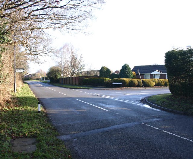
Image: © David P Howard Taken: 17 Jan 2010
View NE up Loxley Road past the junction with Dovehouse Drive.
Images are licensed for reuse under creativecommons.org/licenses/by-sa/2.0
Image Location
Latitude
52.186921
Longitude
-1.606924