Flooded Track , Lower Whatcombe
Introduction
The photograph on this page of Flooded Track , Lower Whatcombe by Nigel Mykura as part of the Geograph project.
The Geograph project started in 2005 with the aim of publishing, organising and preserving representative images for every square kilometre of Great Britain, Ireland and the Isle of Man.

There are currently over 7.5m images from over 14,400 individuals and you can help contribute to the project by visiting https://www.geograph.org.uk
Flooded Track , Lower Whatcombe
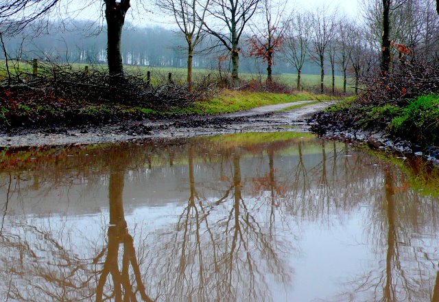
Image: © Nigel Mykura Taken: 16 Jan 2010
This track leads east from the road running north-south along the valley of the River Winterborne to the Keepers Cottage. The start of the track is next to one of the lodges of Whatcombe House.
Images are licensed for reuse under creativecommons.org/licenses/by-sa/2.0
Image Location
Latitude
50.812739
Longitude
-2.226622