Valley of the River Iwerne
Introduction
The photograph on this page of Valley of the River Iwerne by Nigel Mykura as part of the Geograph project.
The Geograph project started in 2005 with the aim of publishing, organising and preserving representative images for every square kilometre of Great Britain, Ireland and the Isle of Man.

There are currently over 7.5m images from over 14,400 individuals and you can help contribute to the project by visiting https://www.geograph.org.uk
Valley of the River Iwerne
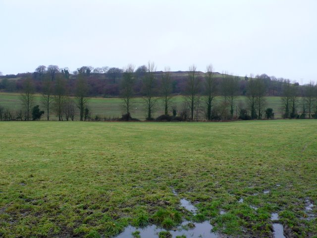
Image: © Nigel Mykura Taken: 16 Jan 2010
Looking west over a waterlogged field on the eastern bank of the River Iwerne near Lazerton Farm. The iron age fort of Hod Hill can be seen on the horizon. The course of the river is marked by the line of trees.
Images are licensed for reuse under creativecommons.org/licenses/by-sa/2.0
Image Location
Latitude
50.893816
Longitude
-2.196304