Iwerne Minster
Introduction
The photograph on this page of Iwerne Minster by Nigel Mykura as part of the Geograph project.
The Geograph project started in 2005 with the aim of publishing, organising and preserving representative images for every square kilometre of Great Britain, Ireland and the Isle of Man.

There are currently over 7.5m images from over 14,400 individuals and you can help contribute to the project by visiting https://www.geograph.org.uk
Iwerne Minster
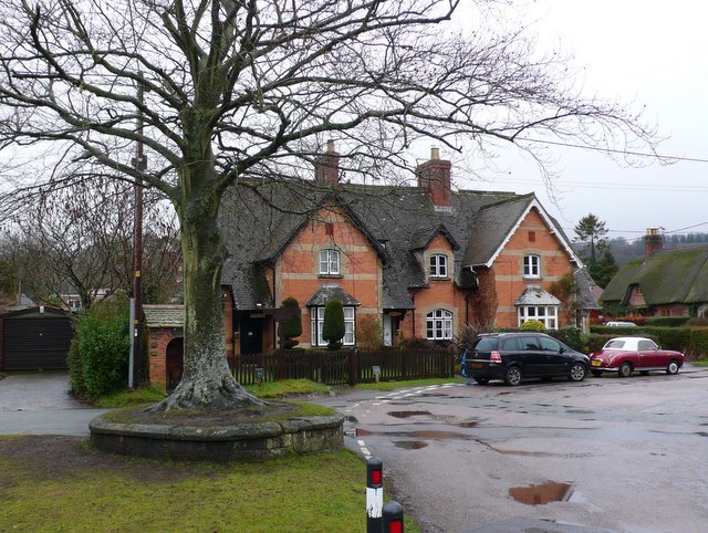
Image: © Nigel Mykura Taken: 16 Jan 2010
This is a small green with one tree close to the centre of the village.This part of the village is known as The Chalk.
Images are licensed for reuse under creativecommons.org/licenses/by-sa/2.0
Image Location
Latitude
50.928177
Longitude
-2.190473