Woodland path, Langlees
Introduction
The photograph on this page of Woodland path, Langlees by Richard Webb as part of the Geograph project.
The Geograph project started in 2005 with the aim of publishing, organising and preserving representative images for every square kilometre of Great Britain, Ireland and the Isle of Man.

There are currently over 7.5m images from over 14,400 individuals and you can help contribute to the project by visiting https://www.geograph.org.uk
Woodland path, Langlees
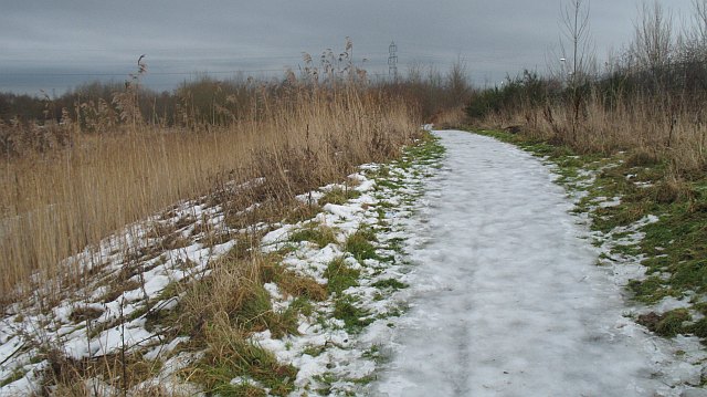
Image: © Richard Webb Taken: 15 Jan 2010
Icy path in an area of woodland at the end of Davids Loan. A thaw was in progress, and as usual areas of compacted snow had turned to ice.
Images are licensed for reuse under creativecommons.org/licenses/by-sa/2.0
Image Location
Latitude
56.018503
Longitude
-3.773586