Pollarded limes, Mayfield Road
Introduction
The photograph on this page of Pollarded limes, Mayfield Road by Robin Stott as part of the Geograph project.
The Geograph project started in 2005 with the aim of publishing, organising and preserving representative images for every square kilometre of Great Britain, Ireland and the Isle of Man.

There are currently over 7.5m images from over 14,400 individuals and you can help contribute to the project by visiting https://www.geograph.org.uk
Pollarded limes, Mayfield Road
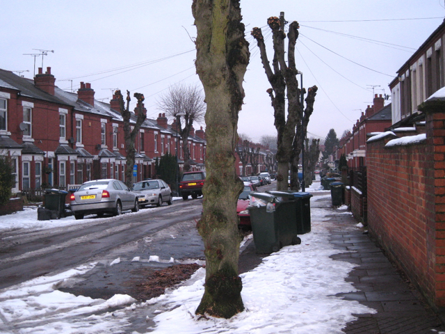
Image: © Robin Stott Taken: 14 Jan 2010
Common Lime (Tilia x europaea, a natural hybrid) grows to an impressive size, for example in parkland, but planted in small-scale spaces such as residential streets – probably with the best of intentions – it spells trouble. Coventry City has grasped the nettle and operates a programme of pollarding in order to reduce justified complaints about loss of light, falling twigs and leaves, goo on cars and potential scary height.
Images are licensed for reuse under creativecommons.org/licenses/by-sa/2.0
Image Location
Latitude
52.398175
Longitude
-1.528186