Hunt Hall
Introduction
The photograph on this page of Hunt Hall by Philip Barker as part of the Geograph project.
The Geograph project started in 2005 with the aim of publishing, organising and preserving representative images for every square kilometre of Great Britain, Ireland and the Isle of Man.

There are currently over 7.5m images from over 14,400 individuals and you can help contribute to the project by visiting https://www.geograph.org.uk
Hunt Hall
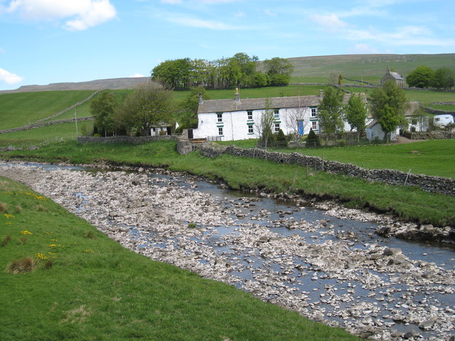
Image: © Philip Barker Taken: 26 May 2008
This photograph shows a view of Hunt Hall taken from Hunter's Close Bank looking in a north-north-easterly direction towards Brown Hill. The church near the B6277 road is visible in the right-hand side of the picture.
Images are licensed for reuse under creativecommons.org/licenses/by-sa/2.0
Image Location
Latitude
54.670525
Longitude
-2.228983