Farmers Arms
Introduction
The photograph on this page of Farmers Arms by Margaret Clough as part of the Geograph project.
The Geograph project started in 2005 with the aim of publishing, organising and preserving representative images for every square kilometre of Great Britain, Ireland and the Isle of Man.

There are currently over 7.5m images from over 14,400 individuals and you can help contribute to the project by visiting https://www.geograph.org.uk
Farmers Arms
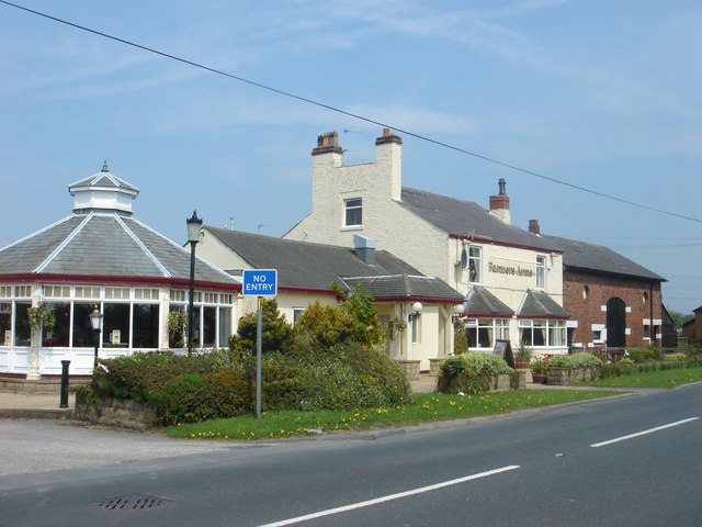
Image: © Margaret Clough Taken: 8 May 2006
on Wham Lane, Whitestake. It's an Inn on the 1940's map but looks as though it was also once a farm, with barn attached.
Images are licensed for reuse under creativecommons.org/licenses/by-sa/2.0
Image Location
Latitude
53.722729
Longitude
-2.738001