Gloucester & Sharpness Ship Canal by Sellars Bridge
Introduction
The photograph on this page of Gloucester & Sharpness Ship Canal by Sellars Bridge by P L Chadwick as part of the Geograph project.
The Geograph project started in 2005 with the aim of publishing, organising and preserving representative images for every square kilometre of Great Britain, Ireland and the Isle of Man.

There are currently over 7.5m images from over 14,400 individuals and you can help contribute to the project by visiting https://www.geograph.org.uk
Gloucester & Sharpness Ship Canal by Sellars Bridge
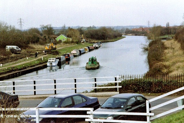
Image: © P L Chadwick Taken: 27 Feb 2003
Started in the late 1790's and not fully opened until 1827, the canal is much wider than most British Canals, many of which can only take narrowboats. The canal ends at Gloucester Docks, where there is a connection to the navigable section of the River Severn. Image
Images are licensed for reuse under creativecommons.org/licenses/by-sa/2.0
Image Location
Latitude
51.820468
Longitude
-2.297225