Kinneil House
Introduction
The photograph on this page of Kinneil House by Lairich Rig as part of the Geograph project.
The Geograph project started in 2005 with the aim of publishing, organising and preserving representative images for every square kilometre of Great Britain, Ireland and the Isle of Man.

There are currently over 7.5m images from over 14,400 individuals and you can help contribute to the project by visiting https://www.geograph.org.uk
Kinneil House
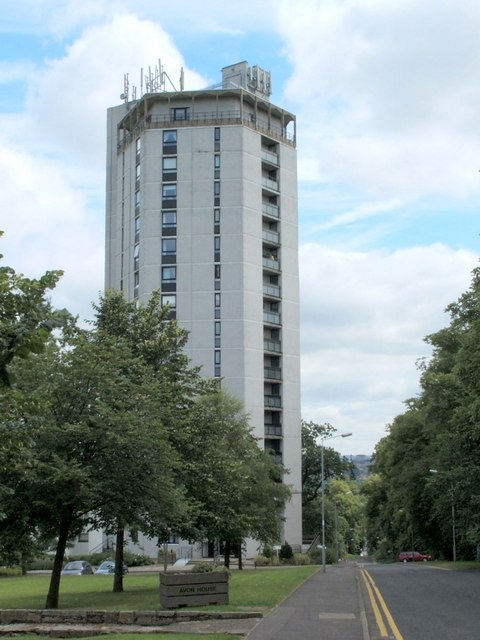
Image: © Lairich Rig Taken: 22 Jul 2005
The building, which is also known as Furlongs Tower, is hexagonal in shape, and stands beside a road called The Furlongs, from which the photograph was taken. Compare the nearby Image
Images are licensed for reuse under creativecommons.org/licenses/by-sa/2.0
Image Location
Latitude
55.780896
Longitude
-4.040403