Le Papillon
Introduction
The photograph on this page of Le Papillon by Ian Capper as part of the Geograph project.
The Geograph project started in 2005 with the aim of publishing, organising and preserving representative images for every square kilometre of Great Britain, Ireland and the Isle of Man.

There are currently over 7.5m images from over 14,400 individuals and you can help contribute to the project by visiting https://www.geograph.org.uk
Le Papillon
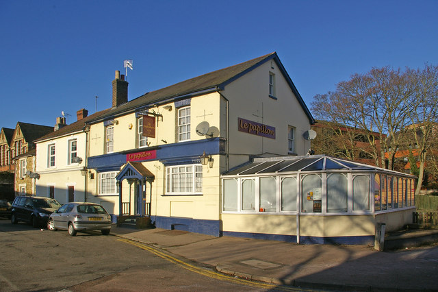
Image: © Ian Capper Taken: 2 Jan 2010
The former Dragon pub, in a new guise having reopened in December 2009. See Image and Image
Images are licensed for reuse under creativecommons.org/licenses/by-sa/2.0
Image Location
Latitude
51.239245
Longitude
-0.171024