Brighouse, Calder and Hebble Navigation
Introduction
The photograph on this page of Brighouse, Calder and Hebble Navigation by Dr Neil Clifton as part of the Geograph project.
The Geograph project started in 2005 with the aim of publishing, organising and preserving representative images for every square kilometre of Great Britain, Ireland and the Isle of Man.

There are currently over 7.5m images from over 14,400 individuals and you can help contribute to the project by visiting https://www.geograph.org.uk
Brighouse, Calder and Hebble Navigation
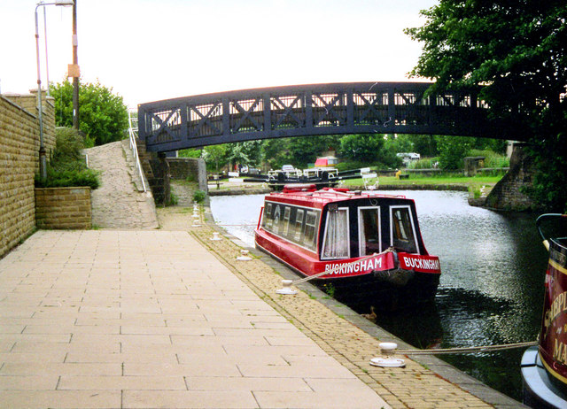
Image: © Dr Neil Clifton Taken: 21 Jun 2001
This is above the top lock and looking east. Behind the boat is a commodious basin, and a Sainsbury's supermarket adjoins, so it is a convenient place to take on supplies. Also the ancient town of Brighouse has much to commend it and is well worth a visit. There are also plenty of good public houses, almost all serving cask ales.
Images are licensed for reuse under creativecommons.org/licenses/by-sa/2.0
Image Location
Latitude
53.700528
Longitude
-1.7767