Toby Lane
Introduction
The photograph on this page of Toby Lane by Derek Harper as part of the Geograph project.
The Geograph project started in 2005 with the aim of publishing, organising and preserving representative images for every square kilometre of Great Britain, Ireland and the Isle of Man.

There are currently over 7.5m images from over 14,400 individuals and you can help contribute to the project by visiting https://www.geograph.org.uk
Toby Lane
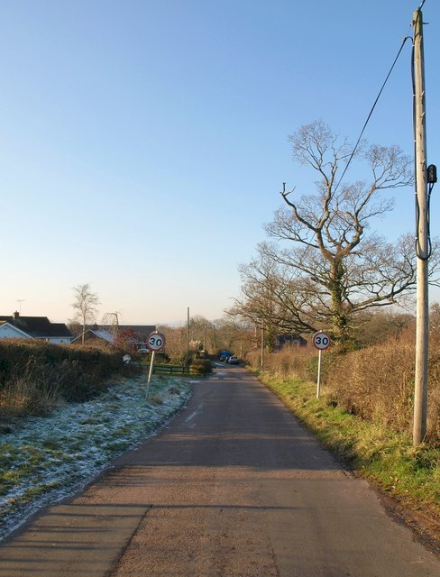
Image: © Derek Harper Taken: 4 Jan 2010
The speed limit signs indicate the beginning of the (almost) continuous built-up area of Woodbury Salterton, although the village centre is about a kilometre ahead. The lane and surrounding land (for instance Image, just to the right) are sloping away towards the Grindle Brook valley.
Images are licensed for reuse under creativecommons.org/licenses/by-sa/2.0
Image Location
Latitude
50.686863
Longitude
-3.390206