Road and footpath through Dale Park
Introduction
The photograph on this page of Road and footpath through Dale Park by Dave Spicer as part of the Geograph project.
The Geograph project started in 2005 with the aim of publishing, organising and preserving representative images for every square kilometre of Great Britain, Ireland and the Isle of Man.

There are currently over 7.5m images from over 14,400 individuals and you can help contribute to the project by visiting https://www.geograph.org.uk
Road and footpath through Dale Park
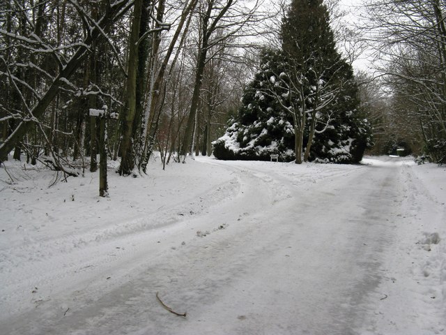
Image: © Dave Spicer Taken: 10 Jan 2010
The footpath straight ahead goes past Keepers Cottage while the left fork leads to Dale Park House
Images are licensed for reuse under creativecommons.org/licenses/by-sa/2.0
Image Location
Latitude
50.883489
Longitude
-0.612376