
Marston Green Station
Introduction
The photograph on this page of Marston Green Station by Michael Westley as part of the Geograph project.
The Geograph project started in 2005 with the aim of publishing, organising and preserving representative images for every square kilometre of Great Britain, Ireland and the Isle of Man.

There are currently over 7.5m images from over 14,400 individuals and you can help contribute to the project by visiting https://www.geograph.org.uk
Marston Green Station
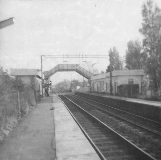
Image: © Michael Westley Taken: Unknown
Very few level crossings survived into the 70s on electrified railway lines. Here's one of them. At the southern end of the platforms (closer to the current car parking) was once a level crossing and footbridge and original waiting rooms/ticket office. Take a look at the old OS maps http://www.ponies.me.uk/maps/osmap.html to see the 1920s road that once crossed to Chapel House Farm and Canterbury Home, all now swallowed up by airport development.
Images are licensed for reuse under creativecommons.org/licenses/by-sa/2.0
Image Location

Latitude
52.466827
Longitude
-1.755167