Bridleway to Chudleigh Knighton Heath
Introduction
The photograph on this page of Bridleway to Chudleigh Knighton Heath by Robin Stott as part of the Geograph project.
The Geograph project started in 2005 with the aim of publishing, organising and preserving representative images for every square kilometre of Great Britain, Ireland and the Isle of Man.

There are currently over 7.5m images from over 14,400 individuals and you can help contribute to the project by visiting https://www.geograph.org.uk
Bridleway to Chudleigh Knighton Heath
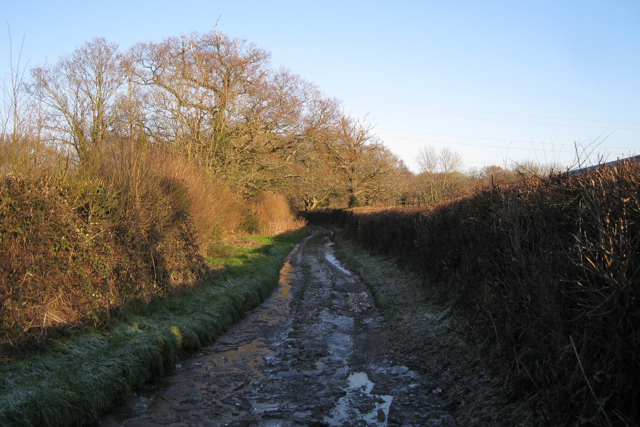
Image: © Robin Stott Taken: 4 Jan 2010
Waterlogged and icy east of Little Bovey Farm, it leads through oak woodland to the heath, a nature reserve. The location to the left of the camera is seen in Image Further ahead is Image
Images are licensed for reuse under creativecommons.org/licenses/by-sa/2.0
Image Location
Latitude
50.580143
Longitude
-3.649638