Track above Upper Chalkley Farm
Introduction
The photograph on this page of Track above Upper Chalkley Farm by Derek Harper as part of the Geograph project.
The Geograph project started in 2005 with the aim of publishing, organising and preserving representative images for every square kilometre of Great Britain, Ireland and the Isle of Man.

There are currently over 7.5m images from over 14,400 individuals and you can help contribute to the project by visiting https://www.geograph.org.uk
Track above Upper Chalkley Farm
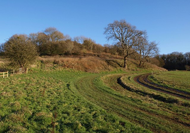
Image: © Derek Harper Taken: 3 Jan 2010
The track, which climbs the Cotswold scarp up a combe, also appears in Image and Image
Images are licensed for reuse under creativecommons.org/licenses/by-sa/2.0
Image Location
Latitude
51.571214
Longitude
-2.337294