Stourport War Memorial Park looking towards Lower Lickhill Road
Introduction
The photograph on this page of Stourport War Memorial Park looking towards Lower Lickhill Road by P L Chadwick as part of the Geograph project.
The Geograph project started in 2005 with the aim of publishing, organising and preserving representative images for every square kilometre of Great Britain, Ireland and the Isle of Man.

There are currently over 7.5m images from over 14,400 individuals and you can help contribute to the project by visiting https://www.geograph.org.uk
Stourport War Memorial Park looking towards Lower Lickhill Road
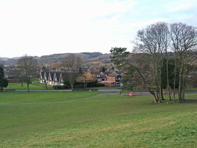
Image: © P L Chadwick Taken: 31 Dec 2009
Part of this extensive public park, with part of the Community Centre car park on the right. Image
Images are licensed for reuse under creativecommons.org/licenses/by-sa/2.0
Image Location
Latitude
52.34536
Longitude
-2.288845