Addington Square SE5
Introduction
The photograph on this page of Addington Square SE5 by Danny P Robinson as part of the Geograph project.
The Geograph project started in 2005 with the aim of publishing, organising and preserving representative images for every square kilometre of Great Britain, Ireland and the Isle of Man.

There are currently over 7.5m images from over 14,400 individuals and you can help contribute to the project by visiting https://www.geograph.org.uk
Addington Square SE5
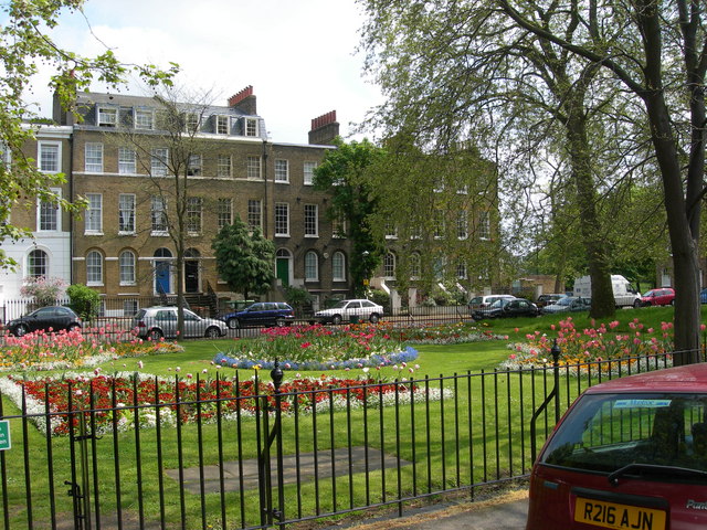
Image: © Danny P Robinson Taken: 7 May 2006
This square is just off Walworth Road. It gained some notoriety during the 1960s because the Richardson Brothers had an illegal "drinking club" named the "Addington Club" in the square. They also had a scrapyard near here from where they ran their criminal enterprises. (See the site in this photo http://www.geograph.org.uk/photo/200880 ) The area has changed a lot since then, physically and socially.
Images are licensed for reuse under creativecommons.org/licenses/by-sa/2.0
Image Location
Latitude
51.480046
Longitude
-0.09333