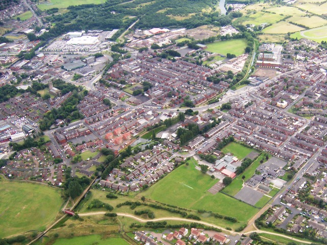
Aerial photograph of Radcliffe
Introduction
The photograph on this page of Aerial photograph of Radcliffe by David Dixon as part of the Geograph project.
The Geograph project started in 2005 with the aim of publishing, organising and preserving representative images for every square kilometre of Great Britain, Ireland and the Isle of Man.
There are currently over 7.5m images from over 14,400 individuals and you can help contribute to the project by visiting https://www.geograph.org.uk

Image: © David Dixon Taken: 14 Aug 2005
Aerial view looking Southwards at Radcliffe. At the bottom of the picture the edge of the new (1990s) housing estate can just be seen. Above that are the two primary schools; Gorsefield and St Mary's. Running diagonally from bottom left to top right (Northeast to Southwest) is the Bury & Bolton Canal. The major Road from right to left (West to East) is Bolton Road, which then turns Southwards becoming first Water Street and then Pilkington Way which passes the Asda Supermarket. At the extreme top left of the picture (South) is Outwood Road, running up the hill towards Outwood and Ringley

