Green Lane Top, Slaithwaite
Introduction
The photograph on this page of Green Lane Top, Slaithwaite by Pamela Norrington as part of the Geograph project.
The Geograph project started in 2005 with the aim of publishing, organising and preserving representative images for every square kilometre of Great Britain, Ireland and the Isle of Man.

There are currently over 7.5m images from over 14,400 individuals and you can help contribute to the project by visiting https://www.geograph.org.uk
Green Lane Top, Slaithwaite
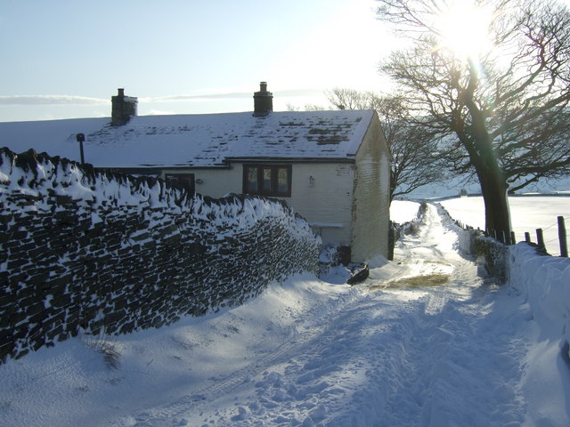
Image: © Pamela Norrington Taken: 21 Dec 2009
The track, Green Lane, leads down to the hamlet of Crow Trees.
Images are licensed for reuse under creativecommons.org/licenses/by-sa/2.0
Image Location
Latitude
53.618642
Longitude
-1.912886