View to Beech Hill Farm
Introduction
The photograph on this page of View to Beech Hill Farm by Claire Seyler as part of the Geograph project.
The Geograph project started in 2005 with the aim of publishing, organising and preserving representative images for every square kilometre of Great Britain, Ireland and the Isle of Man.

There are currently over 7.5m images from over 14,400 individuals and you can help contribute to the project by visiting https://www.geograph.org.uk
View to Beech Hill Farm
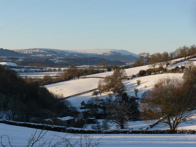
Image: © Claire Seyler Taken: 7 Jan 2010
The Blorenge mountain is at the right hand side of the ridge in the background. Beech Hill Farm is in the valley in the foreground.
Images are licensed for reuse under creativecommons.org/licenses/by-sa/2.0
Image Location
Latitude
51.712693
Longitude
-2.906155