Aerial view of Belfairs Nature Reserve, Hadleigh
Introduction
The photograph on this page of Aerial view of Belfairs Nature Reserve, Hadleigh by Edward Clack as part of the Geograph project.
The Geograph project started in 2005 with the aim of publishing, organising and preserving representative images for every square kilometre of Great Britain, Ireland and the Isle of Man.

There are currently over 7.5m images from over 14,400 individuals and you can help contribute to the project by visiting https://www.geograph.org.uk
Aerial view of Belfairs Nature Reserve, Hadleigh
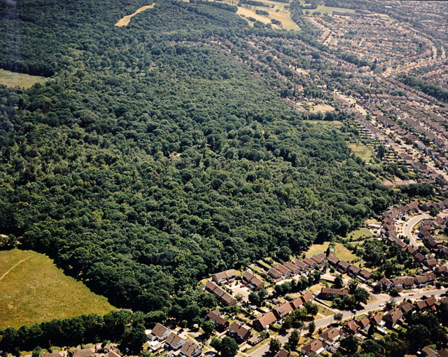
Image: © Edward Clack Taken: 21 Jun 1989
Belfairs Nature reserve occupies much of the centre and top left of the picture. Scrub Lane runs across the upper right corner, with Shepherds Walk and Shepherds Close in the foreground.
Images are licensed for reuse under creativecommons.org/licenses/by-sa/2.0
Image Location
Latitude
51.558944
Longitude
0.61835