Unused motorway ramps
Introduction
The photograph on this page of Unused motorway ramps by Thomas Nugent as part of the Geograph project.
The Geograph project started in 2005 with the aim of publishing, organising and preserving representative images for every square kilometre of Great Britain, Ireland and the Isle of Man.

There are currently over 7.5m images from over 14,400 individuals and you can help contribute to the project by visiting https://www.geograph.org.uk
Unused motorway ramps
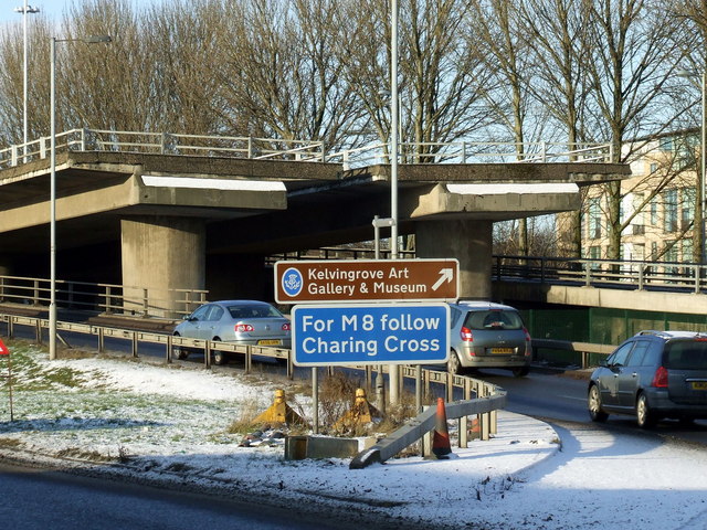
Image: © Thomas Nugent Taken: 6 Jan 2010
These ramps were built along with the M8 and Kingston Bridge in the early 1970s as a future link to the planned Inner Ring Road. Almost 40 years on and the M74 is finally under construction, but will not use these ramps.
Images are licensed for reuse under creativecommons.org/licenses/by-sa/2.0
Image Location
Latitude
55.851446
Longitude
-4.266172