Footpath, Benfield Valley Golf Course
Introduction
The photograph on this page of Footpath, Benfield Valley Golf Course by Simon Carey as part of the Geograph project.
The Geograph project started in 2005 with the aim of publishing, organising and preserving representative images for every square kilometre of Great Britain, Ireland and the Isle of Man.

There are currently over 7.5m images from over 14,400 individuals and you can help contribute to the project by visiting https://www.geograph.org.uk
Footpath, Benfield Valley Golf Course
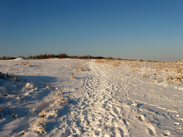
Image: © Simon Carey Taken: 7 Jan 2010
Geographically this is actually the southern part of Benfield Hill which has been split from the rest by the A27 which lurks in the cutting beyond the bushes in the distance. The footpath begins at Hangleton Lane, crosses the by-pass then Benfield Hill before heading north to join the Monarch's Way.
Images are licensed for reuse under creativecommons.org/licenses/by-sa/2.0
Image Location
Latitude
50.852341
Longitude
-0.207411