Path through Acre
Introduction
The photograph on this page of Path through Acre by Lairich Rig as part of the Geograph project.
The Geograph project started in 2005 with the aim of publishing, organising and preserving representative images for every square kilometre of Great Britain, Ireland and the Isle of Man.

There are currently over 7.5m images from over 14,400 individuals and you can help contribute to the project by visiting https://www.geograph.org.uk
Path through Acre
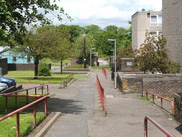
Image: © Lairich Rig Taken: 3 Jun 2005
Like the rest of Maryhill, the area that is now called Acre lies in what was originally the northern part of the old Gairbraid estate. Through his wife (the eponymous Mary Hill), Robert Graham came to acquire these lands; after a failed attempt to make money in the coal industry, he sold off some of his wife's lands, but "the part of Maryhill known as Acre was once the acre of ground which Graham held back from a sale in order to 'big colliers' houses'" [quotation from the book "Villages of Glasgow – North of the Clyde" by Aileen Smart; see that work for more on all of the above; note that in the quotation, "to big" means "to build/erect"]. For a wider view of this area, see Image
Images are licensed for reuse under creativecommons.org/licenses/by-sa/2.0
Image Location
Latitude
55.903831
Longitude
-4.305544