Reserve Steps
Introduction
The photograph on this page of Reserve Steps by Glyn Baker as part of the Geograph project.
The Geograph project started in 2005 with the aim of publishing, organising and preserving representative images for every square kilometre of Great Britain, Ireland and the Isle of Man.

There are currently over 7.5m images from over 14,400 individuals and you can help contribute to the project by visiting https://www.geograph.org.uk
Reserve Steps
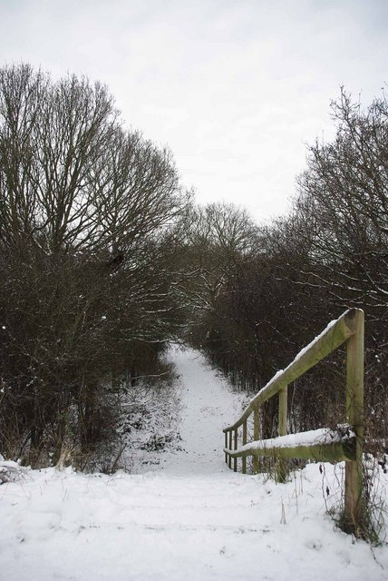
Image: © Glyn Baker Taken: 9 Jan 2010
These steps lead from a footpath beside the A127 to the Noak Bridge Nature Reserve. For more information see http://nbnrs.noakbridge.net/ or http://www.basildon.gov.uk/index.aspx?articleid=2409
Images are licensed for reuse under creativecommons.org/licenses/by-sa/2.0
Image Location
Latitude
51.586335
Longitude
0.449428