A Nevedon Stream
Introduction
The photograph on this page of A Nevedon Stream by Glyn Baker as part of the Geograph project.
The Geograph project started in 2005 with the aim of publishing, organising and preserving representative images for every square kilometre of Great Britain, Ireland and the Isle of Man.

There are currently over 7.5m images from over 14,400 individuals and you can help contribute to the project by visiting https://www.geograph.org.uk
A Nevedon Stream
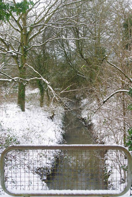
Image: © Glyn Baker Taken: 9 Jan 2010
This stream marks the northern boundary of Image nature reserve one of the only fragments of ancient woodland left in the urban area of Basildon it is classified as a local nature reserve see http://www.basildon.gov.uk/index.aspx?articleid=2408 for more information.
Images are licensed for reuse under creativecommons.org/licenses/by-sa/2.0
Image Location
Latitude
51.583921
Longitude
0.504154