Playing Field, Benfield Valley
Introduction
The photograph on this page of Playing Field, Benfield Valley by Simon Carey as part of the Geograph project.
The Geograph project started in 2005 with the aim of publishing, organising and preserving representative images for every square kilometre of Great Britain, Ireland and the Isle of Man.

There are currently over 7.5m images from over 14,400 individuals and you can help contribute to the project by visiting https://www.geograph.org.uk
Playing Field, Benfield Valley
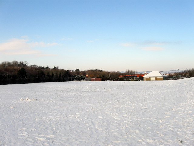
Image: © Simon Carey Taken: 7 Jan 2010
The valley is the name given to a strip of green that runs from the A270 northwards separating the suburbs of Portslade and Hangleton. It continues north of the by-pass until it rises near Dyke Farm. Prior to 1991 this was West Hove Golf Course which had been established in 1910 but had to relocate when the new by-pass split the old course in two. The southern end of the course which also contained the old clubhouse is now a playing field.
Images are licensed for reuse under creativecommons.org/licenses/by-sa/2.0
Image Location
Latitude
50.839094
Longitude
-0.205646